
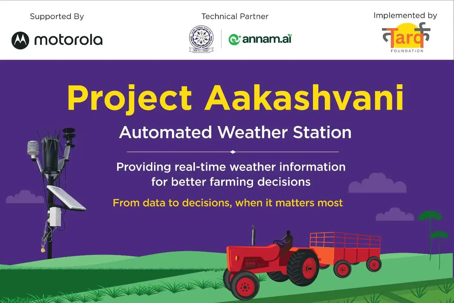
How Motorola Aakashvani is connecting farmers in Haryana with hyperlocal weather intelligence
Technology for good, designed around people and built to reach the last mile
For Motorola, technology has always been about connection. With Aakashvani, that idea takes on a different meaning: connecting farmers with the hyperlocal weather intelligence they need to make decisions about their crops, livelihoods and communities.
For a farmer, a forecast is not simply information. It can shape the decision to irrigate today or wait for rain, to spray a crop or postpone, and to harvest before a storm reaches the village. Yet the weather can change significantly over short distances, making a district-level forecast too broad for decisions taken field by field.
Motorola Aakashvani was created to close that last-mile gap. The corporate social responsibility initiative from Motorola Mobility India brings village-level weather observations, AI-enabled analytics and mobile access together, helping farming communities in Kurukshetra, Haryana make more informed choices in the face of increasingly variable weather.
Starting with the human need
The project began by listening. A baseline assessment of 357 farmers found that 82% had experienced significant climate-related crop losses, while only 21% used weather forecasts in farm planning. Just 17% felt their village was prepared for extreme weather, and 91% said they preferred to receive alerts on their mobile phones. These findings, reported in the project baseline assessment, shaped a solution designed around how farmers access information and make decisions.
This is Powered by Humanity in practice: technology begins with a real human challenge, adapts to local realities and becomes valuable only when people can use it with confidence.
From weather station to farmer
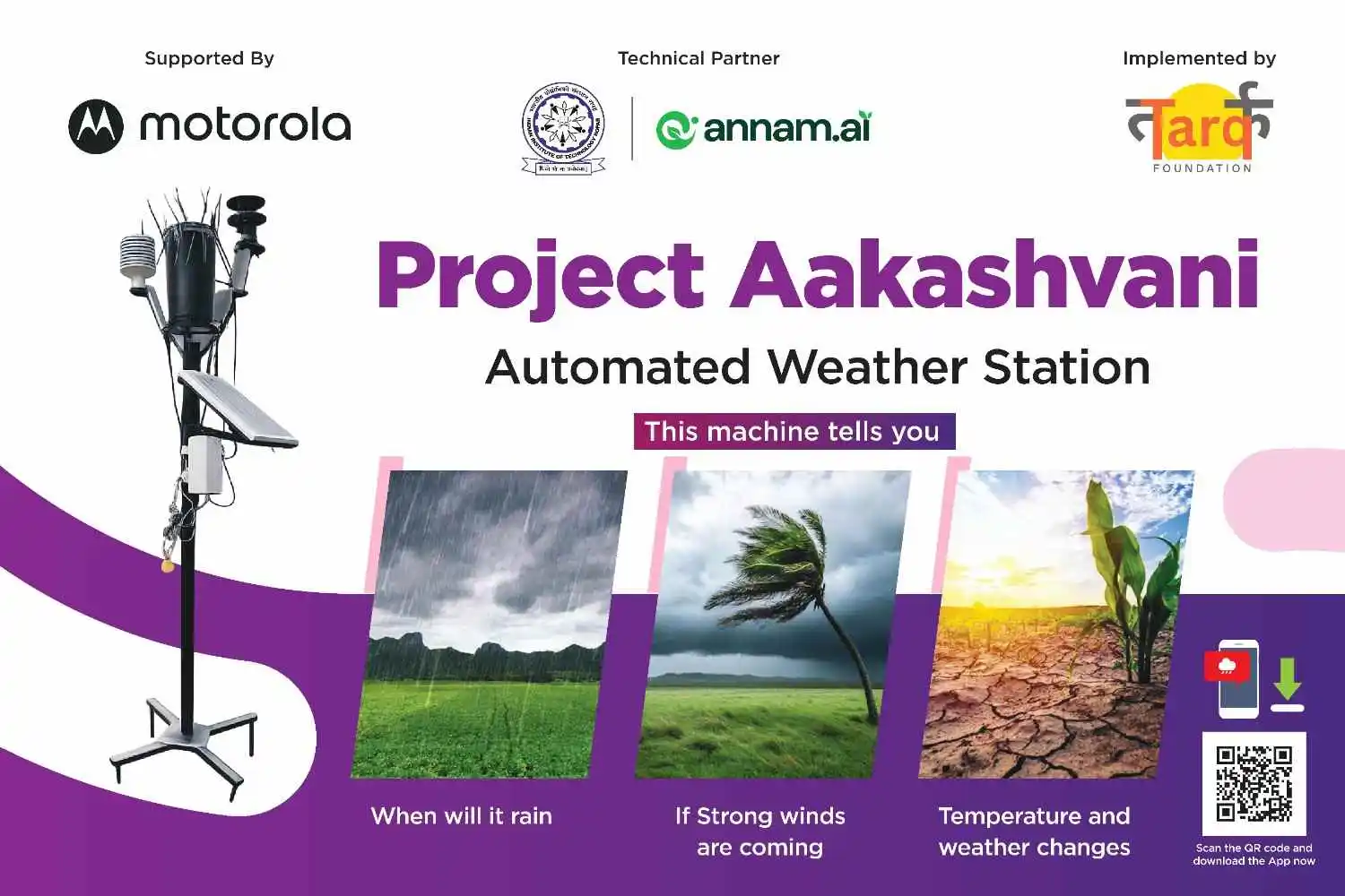
Aakashvani creates a connected pathway from weather station to data, from data to intelligence, and from intelligence to the farmer. Across the programme’s village network, 35 automated weather stations capture rainfall, temperature, humidity, wind speed and direction, and atmospheric pressure within an approximate 1.5-kilometre coverage radius. IIT Ropar developed the station technology, and the India Meteorological Department validated it to 99%. ANNAM.AI’s analytics then turn the observations into 24- to 72-hour forecasts, medium-term outlooks and alerts for heavy rainfall, windstorms, heatwaves and dry spells. Mobile and community channels help translate that intelligence into information farmers can use. The value is not in the data alone, but in what it enables. An early warning can provide time to review harvest plans before adverse weather arrives.
“The updates help us plan irrigation and spraying at the right time.”
— Mukesh Singh, farmer from Ladwa
Mobile technology that helps close the last-mile gap
The last mile is not just about connectivity. It is about accessibility. Aakashvani uses mobile technology to put local weather information within reach of farming communities. Farmers with smartphones receive daily forecasts, alerts and agricultural advisories through a WhatsApp chatbot, while shared community phones in all 35 villages help extend access to those who may not have their own device. A local Point of Contact, selected with the Sarpanch, helps residents access the service. Panchayat dashboards, printed bulletins and village-level training extend the information to people with different levels of smartphone access and digital familiarity.
Advisories are primarily provided in Hindi, with Haryanvi and English used where appropriate. Training has included women and smallholder farmers, helping make access more inclusive. By combining mobile delivery with trusted community channels, Motorola Aakashvani demonstrates that innovation reaches the last mile only when people can access, understand and act on it.
Building resilience at community scale
Aakashvani has reached more than 17,500 farmers with weather information and agricultural advisories. Through alerts distributed via WhatsApp, shared phones and printed bulletins, the wider information network has reached more than 87,500 rural residents across 35 villages.
The importance of such localised solutions becomes clearer against India’s broader climate challenges. An assessment by the Indian Council of Agricultural Research identified 310 of 651 predominantly agricultural districts as climate-vulnerable, with 109 classified as very highly vulnerable and 201 as highly vulnerable.
Against this backdrop, Aakashvani demonstrates how access to timely, location-specific information can help rural communities make more informed decisions about their crops and livelihoods.
“Earlier, we relied on general weather forecasts, but now we receive local weather updates that are more useful for our farming activities.”
— Rajbir Singh, farmer, Jhansa village
Local ownership for lasting impact
Technology projects create lasting value when communities can operate, question and improve them. The weather-information system has been handed over to Panchayats for day-to-day operation, supported by trained local operators who can maintain the stations and interpret data. Farmers can raise concerns through village Points of Contact, while quarterly reviews with community stakeholders create a regular feedback loop.
Each station also builds a local record of weather conditions over time. Subject to the requirements and assessment processes of the relevant insurance scheme, these records may provide supporting information when farmers document weather-related events for crop insurance claims.
“The installation of the Automated Weather Station in our village is a significant step towards empowering our farmers.”
— Meena Kumari, Sarpanch, Thaska Miraanji, Ismailabad Block
Powered by Humanity, designed for the last mile
Aakashvani shows what tech for good can look like when innovation is built around a community’s daily realities: precise enough to be locally relevant, simple enough to act on and inclusive enough to reach beyond individual device ownership. Its modular model can be adapted to other regions by tuning the weather stations, analytics and advisory channels to local crops, languages and climate conditions.
Building on the progress made across the first 35 villages, Aakashvani is set to expand into Uttar Pradesh this year, where agriculture plays a central role in the state’s economy. As the initiative grows, the focus will also be on understanding its longer-term impact and sustainability: how farmers apply the advisories, how reliably the stations perform, and how improved access to information translates into measurable gains in preparedness and farm outcomes.
“We believe this project can serve as a valuable pilot for similar technology-driven interventions across Haryana, subject to the learnings and outcomes from its implementation.”
— Vishram Kumar Meena, Deputy Commissioner, Kurukshetra
Powered by Humanity is about making technology meaningful through the people it serves. With Aakashvani, that can mean something as simple, and as consequential, as helping a farmer know when to irrigate, when to wait and when to prepare for the weather ahead. By connecting hyperlocal intelligence with mobile and community access, Motorola is helping technology reach one of the places where timely information can matter most: the last mile.
About the collaboration
Motorola Aakashvani is a CSR initiative of Motorola Mobility India. Tarq Foundation (Collective Impact India Foundation Trust) leads field implementation, training and monitoring. IIT Ropar supports the weather-station technology, ANNAM.AI provides AI-enabled analytics, the District Administration of Kurukshetra identified project villages, and Gram Panchayats support community outreach, local dissemination and ongoing operation.
Disclaimers Sources and data notes
Motorola Aakashvani
Project baseline assessment: Survey of 357 farmers; figures on climate-related crop loss, forecast use, preparedness, risk-mitigation challenges and preferred communication channels.
Project implementation and completion reports: Weather-station deployment, coverage radius, forecast windows, communication channels, languages, training, and reported reach of farmers and rural residents.
Indian Council of Agricultural Research: Climate-vulnerability assessment of 651 predominantly agricultural districts, including the number categorised as highly or very highly vulnerable.
Project documentation and partner records: Partner roles, technology validation statement, local handover arrangements and participant quotations.
Editorial note: Reach figures are drawn from project reporting. Longer-term impact claims should be updated as evidence becomes available on sustained advisory use, preparedness, yields and livelihood outcomes. The article does not identify a particular moto device model because the available project documentation confirms shared community phones but does not specify the devices used.